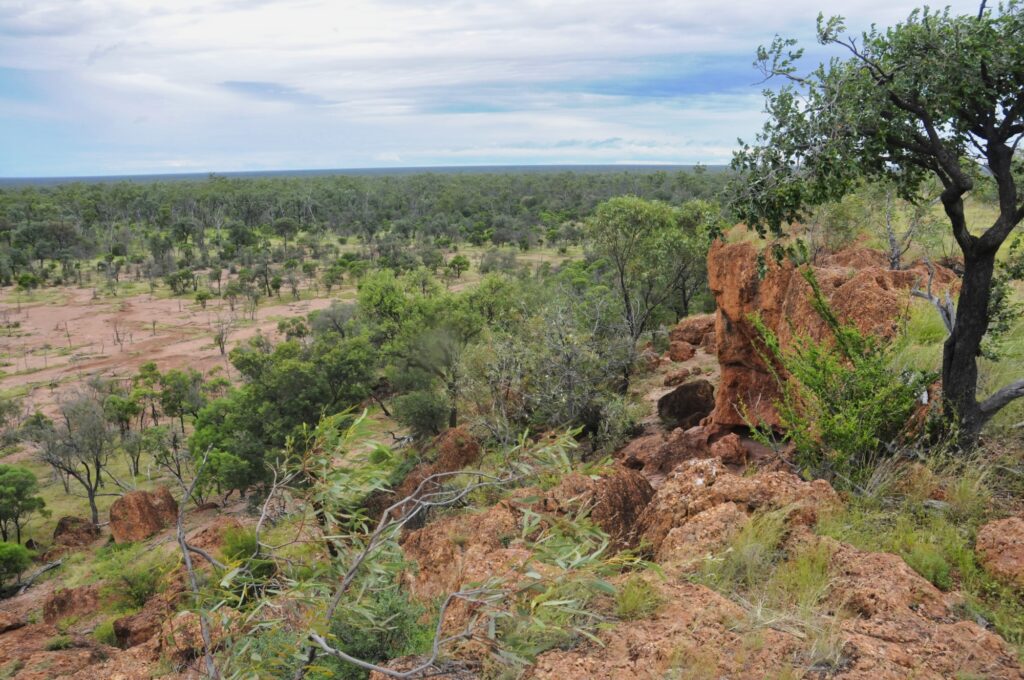
Our Desert Uplands Bioregion is a National Biodiversity Hotspot. Seventy percent of the country remaining uncleared and thickly vegetated by eucalypt and acacia woodlands with a spinifex understorey; there’s twenty-five nationally recognised wetlands including Lakes Buchanan, Galilee and Dune; and endemic fauna and flora species – 22 rare or threatened animals (fish, birds, snails), 29 rare or threatened plants, 29 vulnerable and 14 endangered regional ecosystems.
OUR CLIMATE is considered Earth’s most variable. This variance is in temperature, cold desert nights to long scorching summer days; and in timing and quantities of rainfall. Our hot semi-arid climate has an average rainfall of 400–600 mm, most of which falls in the summer, ‘usually’. However, those ‘average’ rainfall years are interspersed with long periods of drought. Wildfires often follow good wet years which thickens the unpalatable native grass species, which are then ignited by dry electric storms of those dusty hot summers.
OUR LANDTYPES are predominantly weathered sandstone ranges and sand and clay plains, with the Mitchell Grass Downs skirting the western side and narrow patches of Brigalow to the east. Granite ranges and basalt tablelands border the north, whilst its south-east sandstone ridges continue into the Carnarvon Ranges. With these different land systems encircling the Desert Uplands, it becomes an important natural refugia for plants and animals in a changing climate, another factor contributing to its Biodiversity Significance.